Photogrammetry is not new to the world. It was discovered in the mid-19th century and is the science behind recovering exact positions of surface points meaning that depth and distance can be calculated from just images as long the scale is known.
Today Photogrammetry has it’s application in a wide range of industries including topographic mapping, architecture, engineering, manufacturing, quality control, police investigation, and geology.
However a new application is slowly emerging: LOS – short for Large Object (3D) Scanning (I totally coined this).
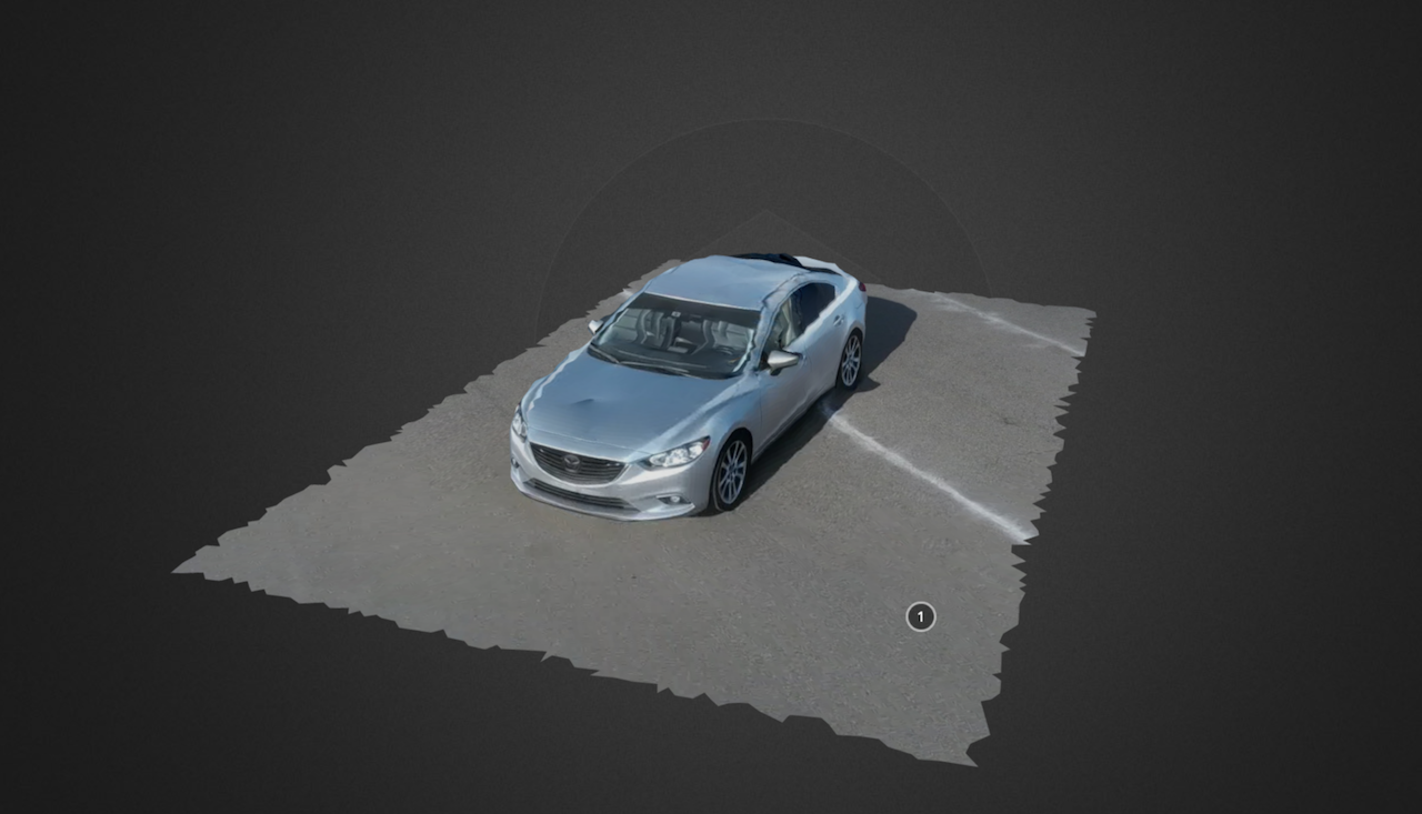
LOS allows to create detailed 3D objects from just images. The source images are usually taken by Drones and are processed using different workflows. Below is a sample of my attempt to scan my car using my DJI Mavic.
As you see the result was good but not perfect. Shadows and reflections are your enemy and the key to success is how you gathered the images in terms of angle and direction. Tuning the process is another part and it requires definitely post processing.
I am exploring this technology right now in terms of creating a viable workflow that produced consistent quality results that can be scaled.
The use cases are unlimited for this technology. In the meantime, enjoy the following capture of one of my flying sites:
[flyandi_button link=”https://sketchfab.com/flyandi”]All My Models[/flyandi_button]

